I head out on lots of local walks from my base at Skelwith Fold, however they all seem to be the same, take in the same roads and tracks. Today however I explored a new area, it’s one I’ve admired from the viewpoint at Spy Hill for years but never felt I had the energy to explore. From Spy Hill you can see a large Cairn on top of a small fell to the West, up until today I didn’t even know what this fell was called. Park Fell by the looks of the OS Map.
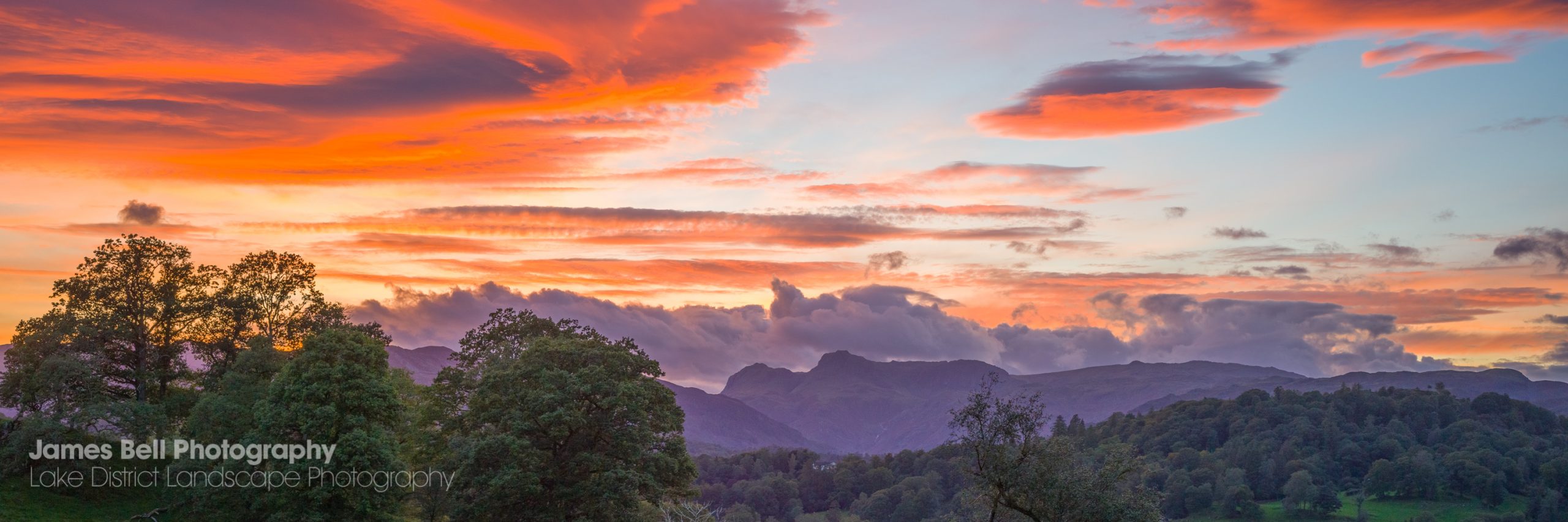
It wasn’t my intention to walk up Park Fell today or even when I was at the bottom of the trail. I headed along a road I haven’t walked down as of yet that leads to Skelwith Bridge and along that road is a unassuming track in the woods heading up hill. I suggested I walk up that track for a few minutes and have a look inside the woodland. Before I knew it todays walk turned into a mission to reach the large Carin on Park Fell. I was intrigued to see the views from the top and if such a local walk could offer me opportunities for a unique Landscape Photo taking in the River Brathay, Elterwater and the Langdale Pikes in the distance.
I didn’t have my camera with my today, which to be honest was liberating as I felt light and agile, not weighed down with my pack and the extra 5kg of weight.
Here are a few iPhone snaps of the walk up Park Fell above Skelwith and Elterwater and the River Brathay.


You can see more of my Lake District Walks here and also a collection of my Lake District Landscape Photography Prints here in my gallery