
As regular followers of my website will have guessed by now Buttermere is one of, if not my favourite location in the lake District. It’s natural beauty is by far in excess of everything else the Lakes has to offer in my view. I’m not sure why when I think about this remotely, but every time I visit it hits you right away, I’ve concluded it’s the scale, for such a small area along the Lake you feel penned in by the fells surrounding Buttermere.
I’ve only walked around Buttermere 2 times prior to this trip, once with Amanda and her sister in 2006 then alone in December 2008. On my first trip I noted some locations that had to be investigated further. The weather was pretty grim on this initial trip but on my second visit I was rewarded with a great clear winters day. So what would a summer walk bring…..
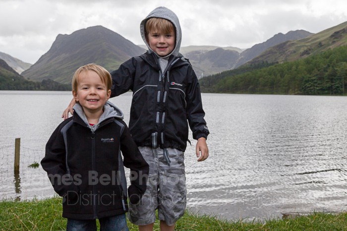
Now that Thomas and Lewis are pretty good walkers we thought they could manage the 4-5 mile walk without the hassle of buggies etc. Lewis was 2, nearly 3 and Thomas 7. This should be a doddle for him given his Lingmoor fell climb at 5 years old.
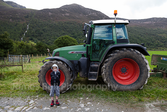
Parking up at the Fish Hotel in the village we headed out down towards the water, as it was Summer there had been a lot of rain recently and the shore and paths were quite flooded, adding to the interest for the kids.
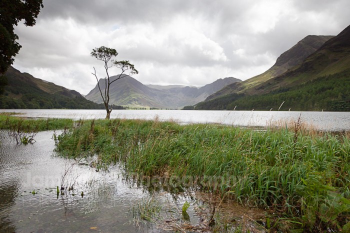
I’ve not seen the tree so flooded. It’s also looking a little depleted from my previous visit. A branch to the right seems to be missing.
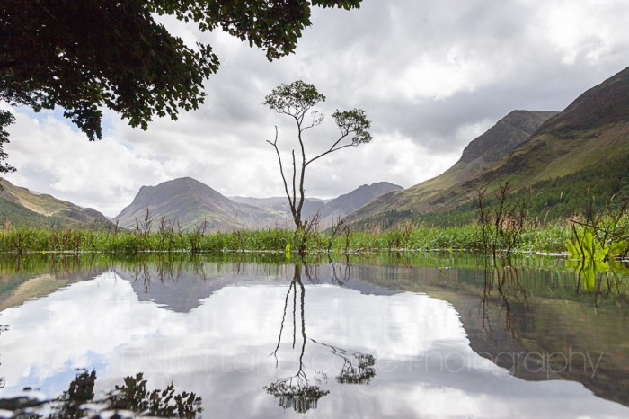
Getting down low for this shot added a new dimension as the tree is normally on the shore. Passes by wondering what I’m doing…
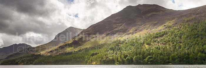
Breaking through the cloud some patches of light illuminate the trees below the High Stile ridge
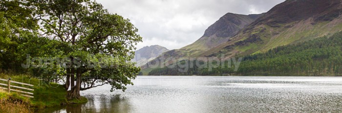
Turning along the length of Buttermere from this point.
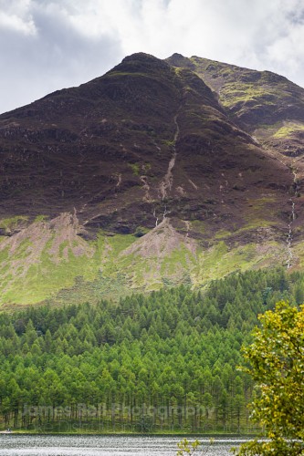
As you head around the Lake there you can appreciate the scale of the place, it’s like you are in a giant bowl, surrounded by the most attractive of sides. Heading along the Western shore on our way out we arrive at several flooded paths and contributories to the lake that have over-flown, covering the paths. At one such point we were crossing a fence as the gate was flooded, a kind lady offered to lift Lewis over the fence, which she did, placing him down next to the stream which he then slipped and fell in, full body soaked. I was gutted, not only for him but also as this could well have been the end of the walk, with no spare clothes and no towel it wasn’t warm enough to be walking around soaked to the skin. However he wasn’t bothered, after the initial shock of getting wet he was too wrapped up in the experience to give up. We pressed on and eventually stopped for lunch further down the path.
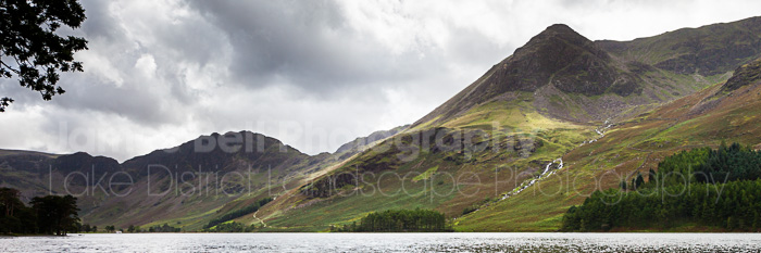
Haystacks and High Crag above Burtness Wood.
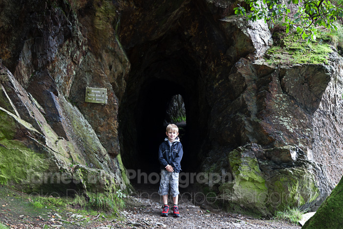
The short tunnel on the side of the water.
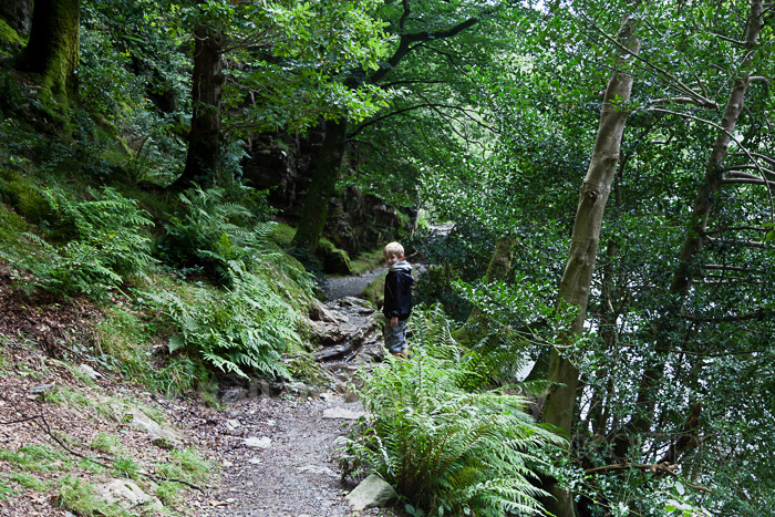
Through the cave and into the Jungle.
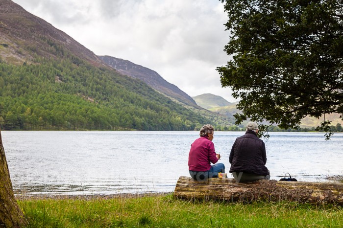
A pleasant view for walkers of all ages.
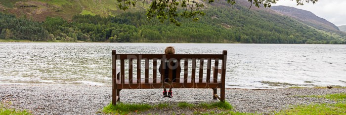
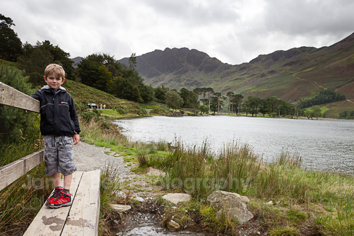
Thomas taking in the view. Sometime he struggles to get to sleep at night, I tell him to remember the time he was sat on this bench to help him relax and drift off. It seems to work every time.
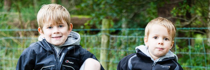
One for the family album.
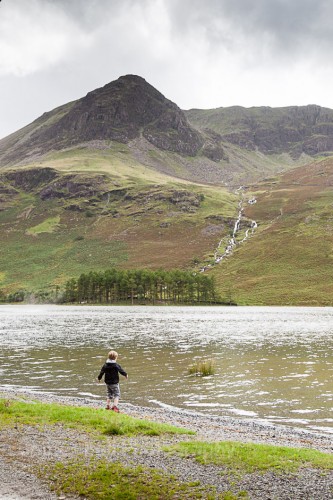
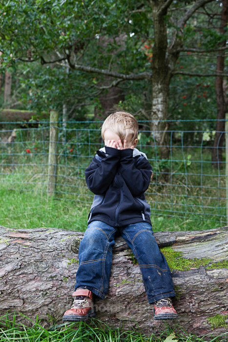
Time to through a few stones back in the water before we head off again. Wet Jeans had enough photos for now.
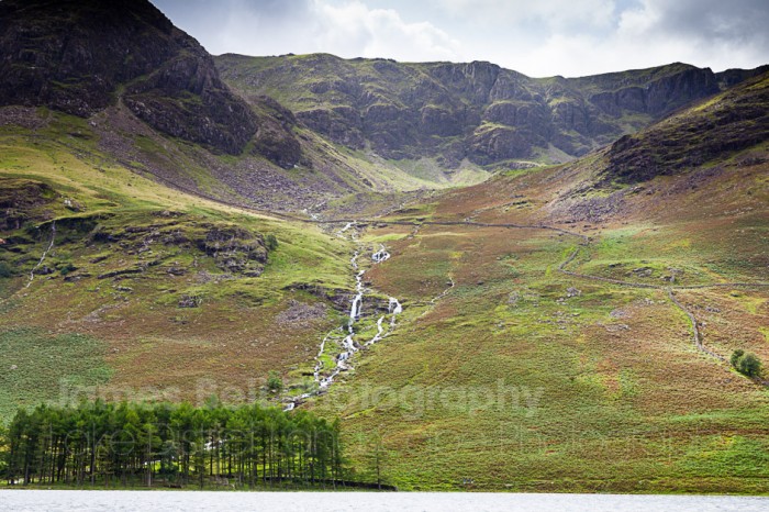
The view over Buttermere to Burtness Wood with Chapel Crags above Bleaberry Tarn nestled in-between High Stile and Red Pike.
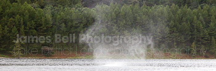
I’m not sure on the technical name for this but a mini spiral of water was being whipped up by the wind and moving down the lake.
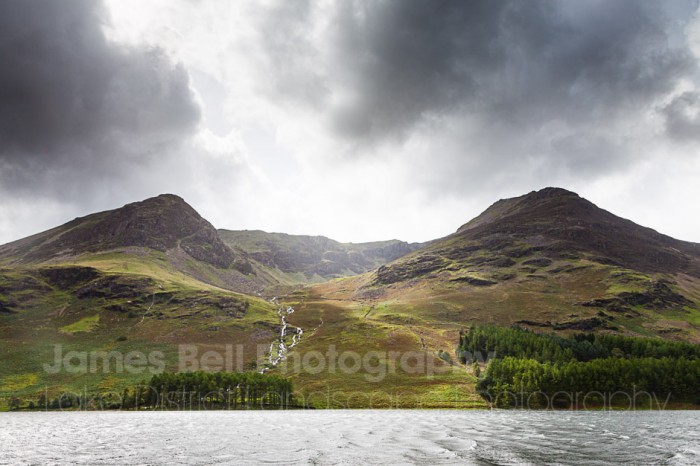
A wider view showing the grandness of the High Stile Ridge. Some nice summer clouds too adding to the scene.
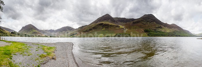
As you make your way around the shore from here what you are greeted with, is in my opinion the finest view you can possibly see in the Lake District if not the UK. It’s a magnificent vista across Buttermere toward the finely shaped Fleetwith Pike, over Warnscale to Haystacks; Wainwrights favourite and ultimately his final resting place, up to High Stile, High Crag and Red Pike. Collectively known as the High Stile ridge. Looking up from this position, I’m questioning did I actually walk all that in one go. It seems a fair tasks these days as I’ve not walked up high for a couple of years. I need to get back into that.
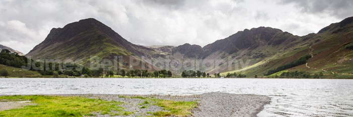
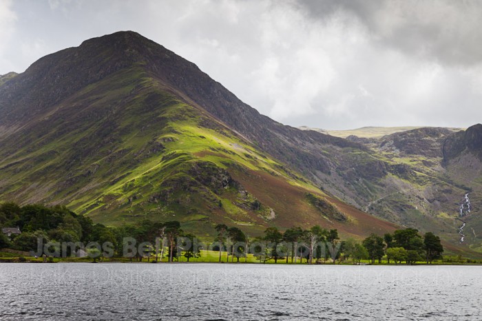
Fleetwith Pike above Buttermere
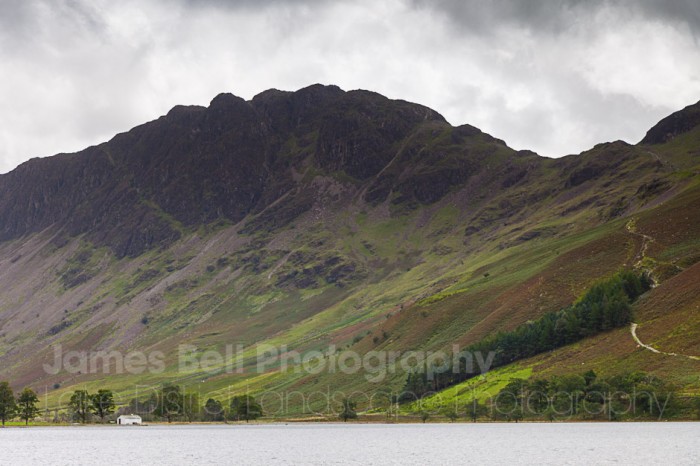
Haystacks above Buttermere. The path to the right leads from the waterside to Scarth Gap and then down into the Ennerdale Valley and Black Sail Hut Youth Hostel. The path is known as the Scarth Gap Pass.
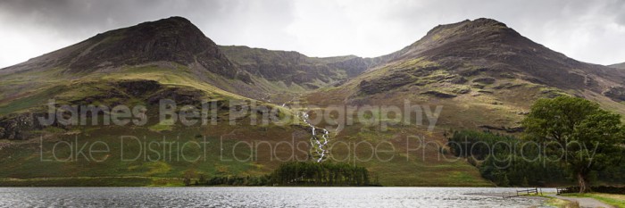
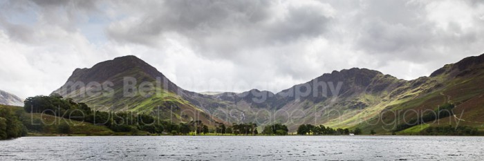
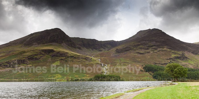
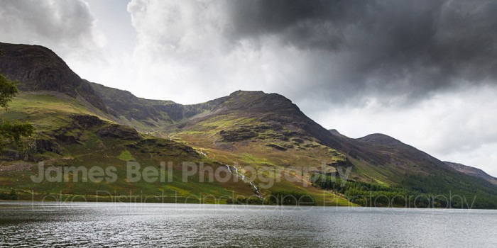
Looking back down the High Stile Ridge.
Heading round the Lake and up to Gatesgarth Farm we promise the kids an ice cream from the van that usually parks up in the Farm car park. What a disappointment, Thomas has an allergy to Egg and the Ice Cream man couldn’t tell us the ingredients of the ice cream, Thomas is pretty cautious when it comes to this so declined to have anything just in case.
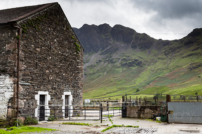
Haystacks above one of the barns at Gatesgarth Farm.
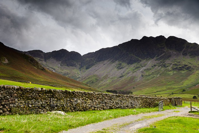
Continuing on the well signposted path past the mountain rescue hut the path takes you over a small bridge known as Peggy’s Bridge and on to the foot of the High Stile Ridge. From here you get a real view of haystacks and you can appreciate where the name Haystacks comes from.
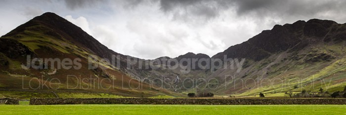
Warnscale in-between Fleetwith Pike and Haystacks.
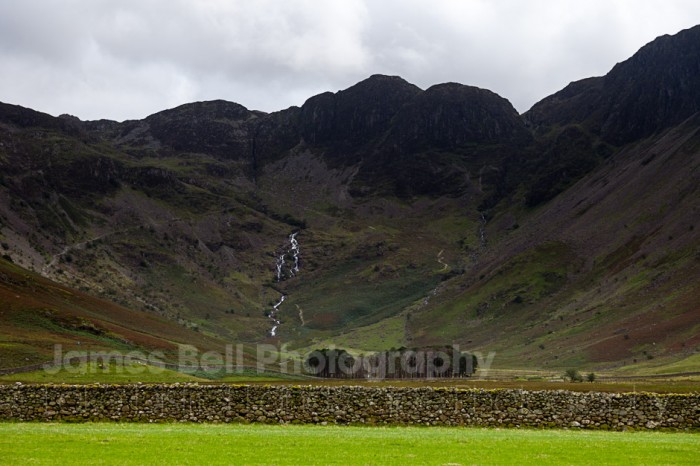
A close up with Warnscale Beck in the centre of the frame with Green Crag above. Can you see The Retreat from here?
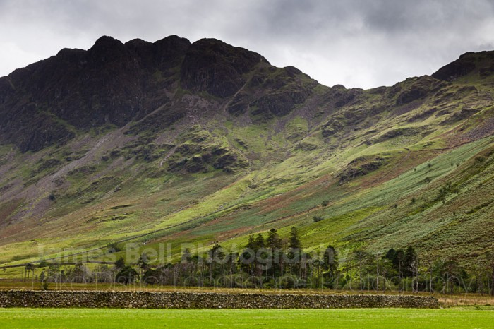
Haystacks and several shades of green.
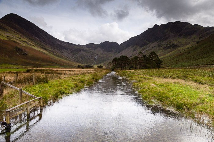
The view from Peggy’s Bridge back to Warnscale, Fleetwith Pike and Haystacks.
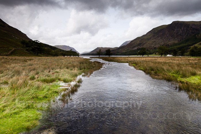
Looking the other way over Buttermere with the lower slopes of the High Stile Ridge to the left and possibly Goat Crag and High Bank on Low or High Snockrigg.
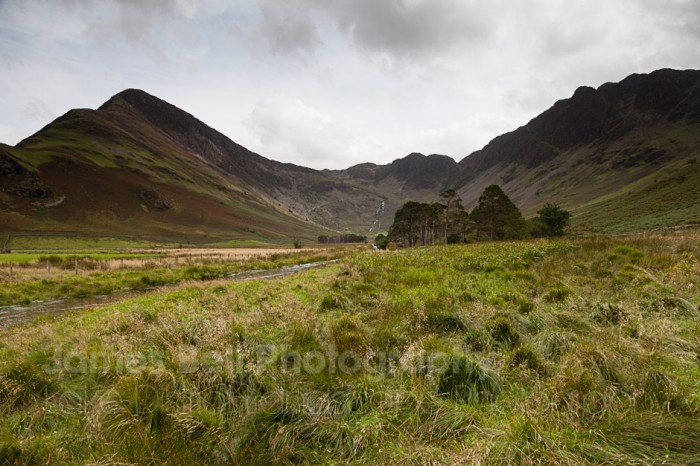
Just from the side of the bridge. Trying to use the line of the Beck to lead the eye to the trees.
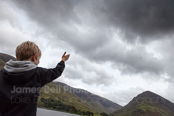
Thomas giving a Royal Wave to a Sea King Helicopter just in case it’s Prince William.
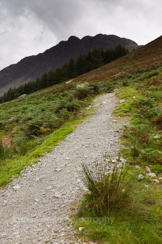
The bottom of Scarth Gap Pass looking up to Haystacks.
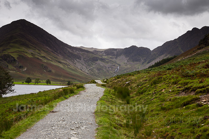
Looking back to Warnscale.
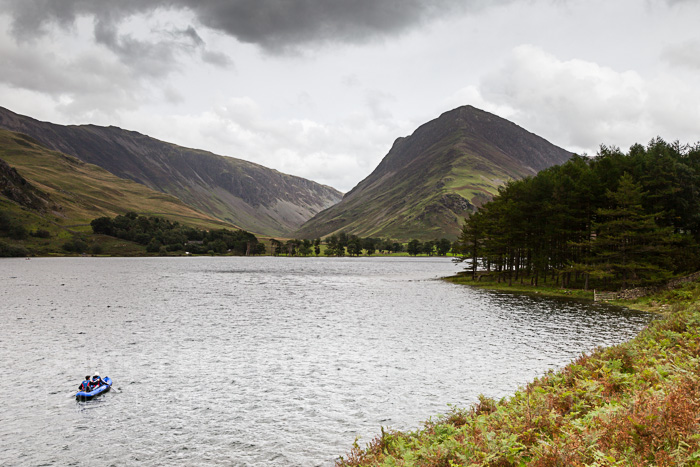
An alternative way to see the area.
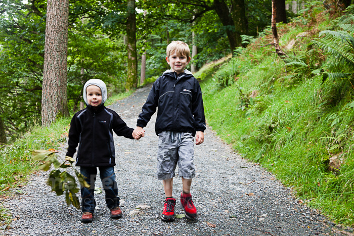
Spurring each other on to the finish line. They’re not always this civilised.
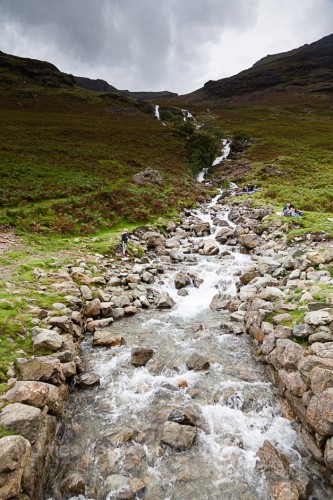
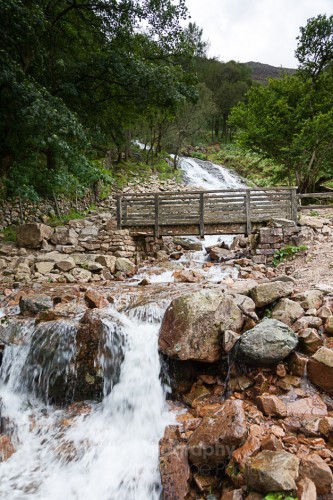
It’s a relatively easy-going and un-flooded path back to the Northern end of Buttermere. There’s a stream coming down the fell side that is worth stopping at along the path above Burtness Wood pictured above as is Sourmilk Ghyll below Bleaberry Tarn at the end of the path pictured above right. From here it was back to the pub for a well-earned drink, I was so proud of the boys for walking so far, especially Lewis at only 2 years old and drenched from the outset. They had and we had a great day, needless to say they were both asleep by the time we got on Honister Pass.
I hope we can have many more family walks around here over the years ahead, it’s a joy to walk and a pleasure to photograph.
If you take the Lake road or path along the Westerns side of the High Stile Ridge with Haystacks and Fleetwith Pike at the Southern end of the Lake has to be one of the most attractive scenes you can see in the UK. Go and see for yourself. If not then take a look at some of my prints available from this location.


