Loughrigg Fell is situated in the center of the Lake District on the southern shore of Grasmere with Loughrigg Tarn to the East and Rydal Water to the West. Loughrigg Fell is a relatively low lying fell but given it stands alone you get a decent view in all directions from the Summit.

I’ve walked up Loughrigg Fell several times from both Pelter Bridge at the foot of Rydal Water and the National Trust Car Park on the A591.

Starting from Pelter Bridge is a pleasant route which takes you along the side of Rydal Water with fine views towards Nab Scar.

I have a Greetings Card of the above Rydal Photograph available in my Shop.


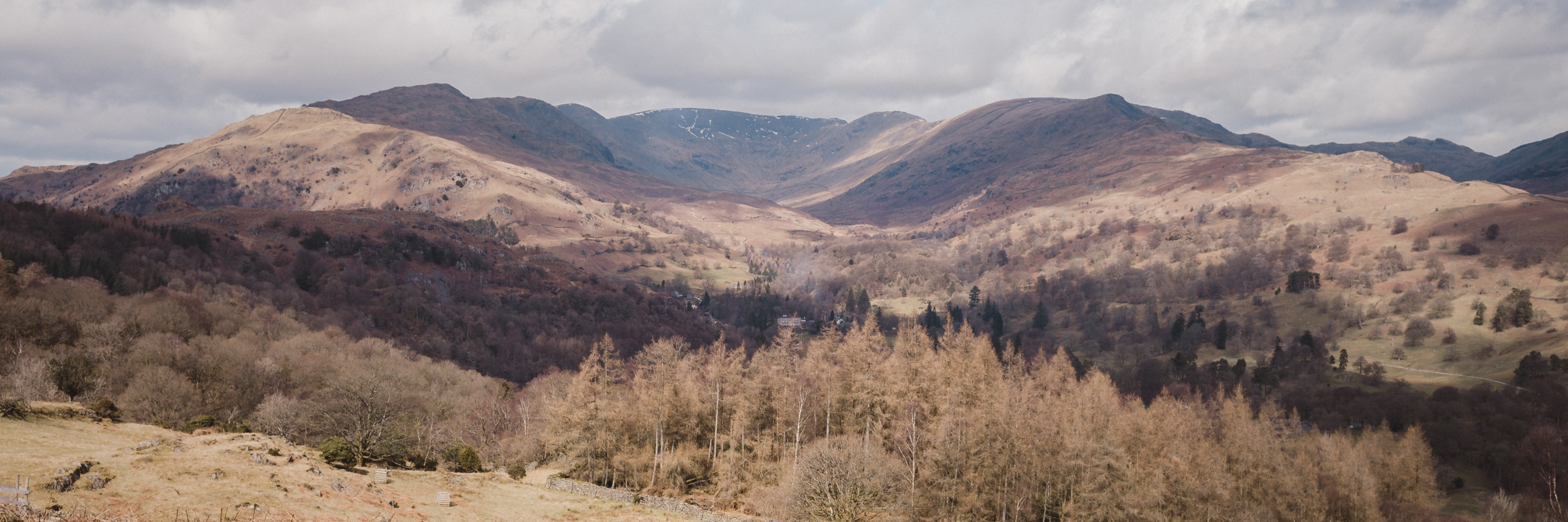
As you follow the path around Rydal Water which leads to Loughrigg Terrace fantastic views of Grasmere and Helm Crag over Grasmere Village come into view.

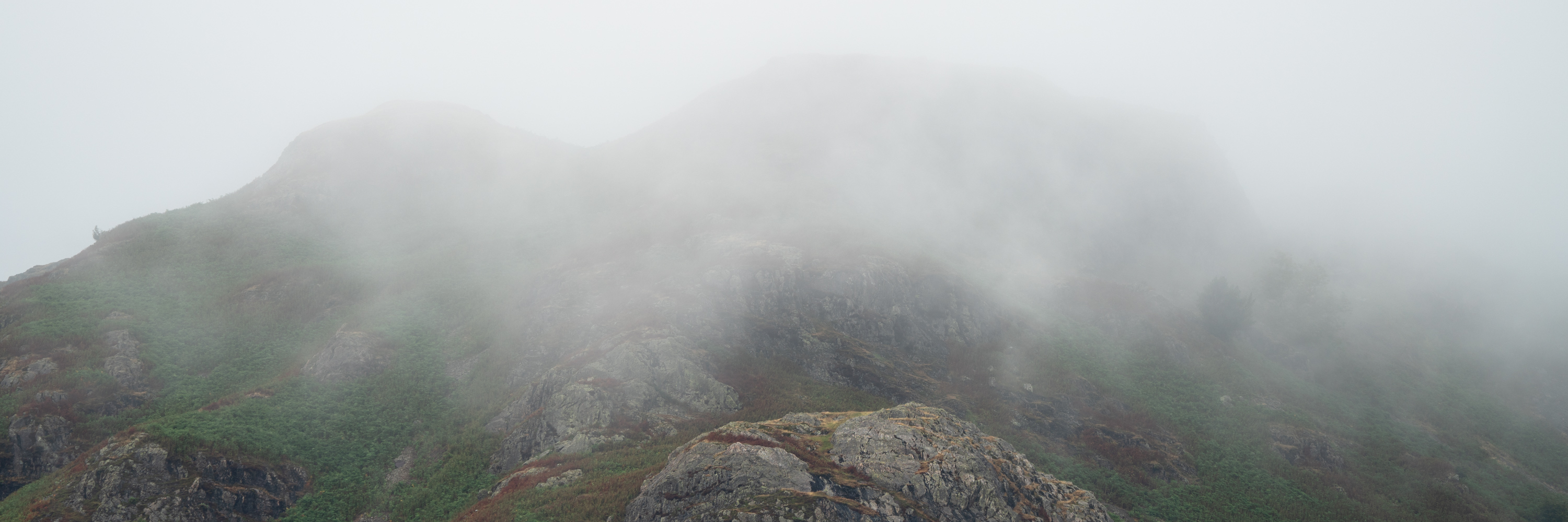
A well built path leads upwards.

Helm Crag and Steel Fell above Grasmere, with Dunmail Raise to the right. The main road from Grasmere to Keswick.

The high fells to the East of Grasmere Seat Sandal, Fairfield and Great Rigg.

I’m quite drawn to this view. The openness and scale is quite something. On a clear day such as this, with fairly low side lighting you really get a feel for the terrain. Seat Sandal, Fairfield and Great Rigg, Heron Pike and Nab Scar above Rydal.

The Western shore of Grasmere.

Grasmere’s Eastern shore with the Weir in the foreground. You can just about make out the main road in between the trees at Baneriggs. Their was a Caravan and Camping Club day in Grasmere as you’ll notice in the fields above the Prince of Wales Hotel.

As you ascend the views get better and eventually you can see The Langdale Pikes over Silver How. Bowfell and Crinkle Crags are also in view.

Eventually the main climb levels out and for the first time you can see the Summit Trig point.

You start to loose sight of this view over Grasmere as you move along the top towards the Summit.

I have a Lake District Greetings Card available of the scene above in my Shop.

Now you get to see more of Langdale to the West.

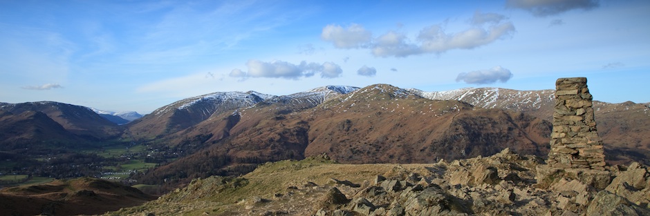
Loughrigg Fells Summit with Windermere in the background. (below)

Looking North


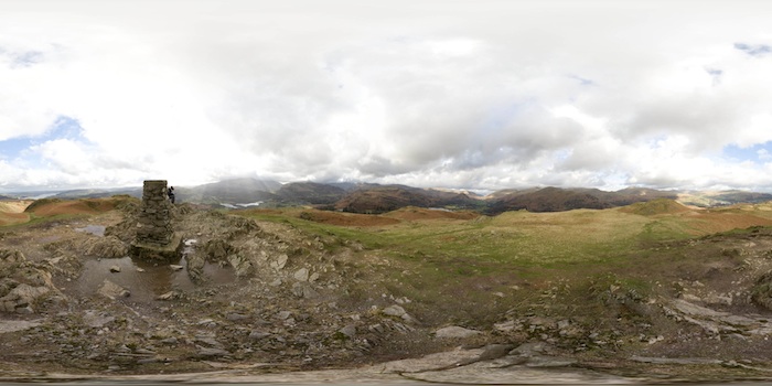
Loughrigg Fell has two summits the main Summit has a trig point on a rocky plateau as seen above in the Equirectangular image.

The second less common Summit is to the South and offers the only view over Loughrigg Tarn from the fell and into Langdale as seen above as a Equirectangular image.

You get a sense for the areas industrial past from here, the mountain side of Lingmoor Fell is littered with mine workings. Elter Water is also in view from the Southern part of the Summit.

The Langdale Pikes as seen on two separate occasions form Loughrigg’s Summit.

You have a few choices for descent from here, my preferred route is back the way you came as the views over Grasmere and the surrounding fells are well worth another look.

Descending towards a Silver Grasmere as the Sun sets I make my way back to the Bike at The National Trust Car Park through Baneriggs.

Here you can see more of my Lake District Photography from Loughrigg Fell and the Surrounding area.